The Shipwreck Trail
Description
The Shipwreck Trail is aptly named after the 3 striking shipwrecks that lie scattered along the sand at Cape Point Nature Reserve in Cape Town. It's a lovely hike that travels through fynbos and beach, and don’t be surprised if you pass a couple of roaming ostriches, snakes, seagulls, baboons, bontebok, and rare African black oystercatchers along the way!
Thomas T. Tucker
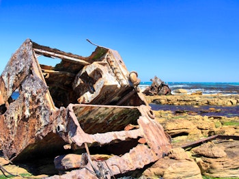
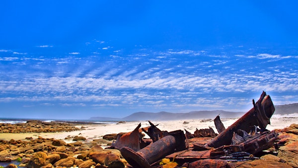
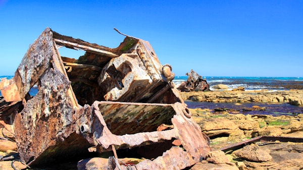
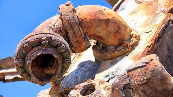
The Thomas T. Tucker was an American ‘Liberty Ship’ that ran aground here after striking Albatross Rock in 1942. She was on her maiden voyage, carrying military supplies and other materials for the North African campaign, when she missed her stop at Cape Town due to fog. Fortunately, no lives were lost and her cargo was successfully salvaged. The Thomas T. Tucker is one of the most easily accessible shipwrecks in the Cape as three parts of her hull lie scattered on the sand. Seagulls and African black oystercatchers are often found roosting on the remains of the ship.
Nolloth
The Nolloth was a Dutch-registered coaster that was wrecked along the beach in 1965. She was carrying a large cargo of liquor and, after she ran aground, many people invaded the beach to try and salvage some of it. Sadly there is not much left of the Nolloth today (merely the ruddershaft and crankcasing) but once you reach this deserted part of the beach, it’s quite easy to conjure up images of what it may have looked like.
La Napoleon
Le Napoleon was a French pirate ship that sank after being chased ashore at Olifantsbos by the Royal Navy frigate, Narcissus, in 1805. The outline of the ship and some of the cannons can be seen near the car park. Start: Olifantsbos Point
Routes
There are 3 routes that start and end at Olifantsbos. Each route varies in length so you can take your pick depending on how much time you have or how energetic you’re feeling. Once you enter Cape Point Nature Reserve, keep an eye out for the Olifantsbos turn off on the right-hand side. This will take you through the reserve and down to a parking lot near the beach. Look out for the Thomas T. Tucker sign on the left-hand side (if you’re facing the sea). This is where all 3 routes start.
Route 1: The Thomas T. Tucker Trail
Follow the yellow tipped markers along a dusty path through the fynbos. You will then have to manoeuvre over a rocky section that leads to the beach. There’s plenty of fascinating marine life in the rock pools so spend some time here before moving on. Continue along the beach until you see the remains of the Thomas T. Tucker. You can stop here for a break before returning the way you came or continuing onwards to the Nolloth.
- Length: 3km
- Duration: 1.5 hours
Route 2: Shipwreck Circuit
Follow the Thomas T. Tucker trail past the Nolloth shipwreck and up to the inland ridge. The path will eventually lead back towards the Olifantsbos parking lot. From here, continue past the sign that turns off to Sirkelsvlei and keep on going towards Staavia Edge.
- Length: 5km
- Duration: 2.5 hours
Route 3: Sirkelsvlei Circuit
Sirkelsvlei is the largest body of fresh water in the area and is thought to be fed by underground springs. This route can be reached from the parking lot by following the path near the boom gate. You can choose which way to start out when the path splits – the path on the sea-side will take you along Staavia Edge, around to Sirkelsvlei, and then onto an arch-shaped rock before heading back to Olifantbos – or you can choose to do it from the other direction.
- Length: 6.5km
- Duration: 3 hours 45 minutes
More information:
- Bring: map, hat, sunblock, water, hiking shoes, camera, warm top, and food.
- TG Tip: Pick up a pamphlet at the Buffelsfontein Visitors Centre for a nominal fee. They are formulated by volunteers and provide a lot of useful information about the area.
Map


Nearby Attractions
Click here to see more accommodation options
You may also be interested in browsing our selection of accommodation in Tietiesbaai or reading about Tietiesbaai


